The Wild Atlantic Way
2,500 kilometres of Atlantic coast, and how to drive the part you actually have time for
The Wild Atlantic Way is the long green ribbon down the west of Ireland: a single signed coastal route running the full Atlantic seaboard from the top of Donegal to the harbour town of Kinsale in Cork. It is the reason most first-time visitors point their hire car west, and rightly so. This is where Ireland does its big scenery: sea cliffs, empty beaches, stone-walled peninsulas, and weather that rolls in off three thousand miles of open ocean.
It is also, at 2,500 kilometres, far longer than any normal trip. The single most useful thing to understand before you start is that you are not meant to drive the whole thing. You pick a stretch. This page covers what the route is, how to choose your section, and how to drive it without spending your holiday behind the wheel.
What the Wild Atlantic Way Is
Launched in 2014, the Wild Atlantic Way is one of the longest defined coastal touring routes in the world: roughly 2,500 kilometres (about 1,600 miles) of waymarked road hugging the western coastline. It runs through nine counties and three provinces, from Malin Head in County Donegal at the northern tip down through Leitrim, Sligo, Mayo, Galway, Clare, Limerick and Kerry, finishing at the Old Head of Kinsale in County Cork.
The route is marked by a distinctive blue-and-white zigzag sign, and punctuated by official Discovery Points: viewpoints and stops chosen for their scenery or interest. You do not need to book anything or follow it rigidly. It is a suggestion of the best coastal road, stitched together and signposted, that you join and leave wherever suits.
Tips
- •Look for the blue wave-shaped 'WAW' signs; they confirm you are still on the route at junctions.
- •The route runs both ways. Most people drive north to south or south to north; either works.
Choose Your Stretch
Driving the entire route comfortably takes two weeks or more, and doing it in a rushed week means long days in the car and little time out of it. Far better to choose one or two counties and go deep. Each section has its own character: Donegal is remote and dramatic, Mayo and Sligo are wild and quiet, Connemara and Galway are the postcard west, Clare has the Cliffs of Moher and the Burren, and Kerry and West Cork bring the famous peninsulas.
A good rule is one peninsula or one county per two or three days. That leaves time for the walks, the beaches, and the long lunches that are the actual point, rather than treating the drive as a distance to be completed.
Tips
- •If you only have three or four days, pick Kerry (Dingle and the Ring of Kerry) or Galway and Clare (Connemara to the Cliffs).
- •For fewer crowds and equally big scenery, aim north: Mayo, Sligo, and Donegal are underrated.
The Signature Stops
Some highlights are worth building a route around. In the north: Malin Head, Slieve League's sea cliffs in Donegal, and Downpatrick Head in Mayo. In the middle: Achill Island, the Sky Road at Clifden in Connemara, and the Cliffs of Moher and Loop Head in Clare. In the south: the Dingle Peninsula and Slea Head, the Ring of Kerry, and Mizen Head at the far south-western tip.
Between the marquee names, the quieter stops are often the best: a Blue Flag beach with nobody on it, a harbour village with one good seafood pub, a headland where the road runs out. Base yourself in the coastal towns along the way, Clifden, Westport, Doolin, Dingle, Kinsale and others, and treat each as a hub for a day or two of exploring.
Driving It
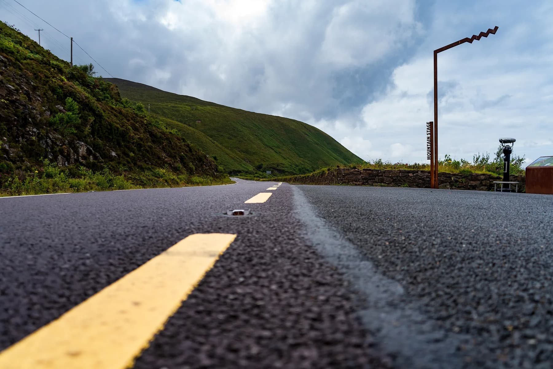
You need a car; this is not a route public transport covers well. Drive on the left, and plan by time rather than by distance, because the coastal roads are narrow, winding, and slower than any sat-nav estimate. A 90-kilometre stretch on the map can easily be a half-day with stops. Some of the best sections are single-track roads with passing places, shared with cyclists, sheep, and the occasional tour coach.
Fill the tank when you can, especially in the remote north-west where fuel stations thin out. Take your time on blind bends and pull in to let faster local traffic pass; nobody minds a visitor driving cautiously, but everybody minds a queue. The reward for the slow pace is that the driving itself becomes the experience, not the gap between experiences.
Do
- ✓Hire a car; the route rewards it and public transport does not reach most of it.
- ✓Plan your days by driving time, not map distance.
- ✓Use the passing places on single-track roads and let locals through.
Don't
- ×Do not try to complete the whole 2,500 km in a week.
- ×Do not run the fuel low in Donegal, Mayo, or Connemara; stations are sparse.
- ×Do not stop on blind bends for photos; use the Discovery Points and laybys.
When to Drive It
The shoulder seasons, roughly May, June, and September, are the sweet spot: long daylight, the best chance of dry stretches, and fewer cars on the single-track sections. July and August bring the warmest weather and the busiest roads, and the honeypot stops like the Cliffs of Moher and the Ring of Kerry fill with coaches by late morning.
Whatever the month, the Atlantic weather is changeable and part of the appeal; a squall and a rainbow in the same hour is normal out here. Pack for all of it and do not cancel a coastal drive because the morning looks grey, because it rarely stays that way for long. See the Weather and When to Visit page for the fuller picture.