The Dry Canal
5 km in length · Flat elevation
About
A five-kilometre cut channel running north out of the village, dug by the Commissioners of Public Works between 1848 and 1854 to link Lough Mask to Lough Corrib for navigation, drainage and mill power. The navigation half of the scheme was abandoned in 1854 and the engineer instructed to finish only the drainage works. The usual telling is that the limestone would not hold water, which is what the village has always said and what the name records. Locks, bridges and cut stonework survive along its length and the whole thing is walkable from the village car park. The best detail is that it is not always dry: the level in the channel moves between nothing in summer and about three and a half metres in winter, so which version you see depends entirely on when you come.
Photos
Highlights
- ✓The remains of Lock 3, a few minutes from the village car park
- ✓Carrownagower Bridge and the cut stone aqueduct work
- ✓A channel that is full in winter and empty in summer
Tips
- →Come between late autumn and spring if you want to see water in it.
- →Start from the large car park on the northern edge of the village, not from the abbey.
- →Parts of the towpath are rough and unsignposted; this is a ruin, not a park.
Best Season
More Attraction Activities
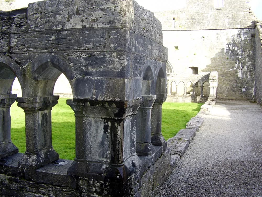
Cong Abbey and the Royal Abbey cloister
Free, unguided twelfth-century Augustinian ruin in the middle of the village, where the last High King is said to have died.
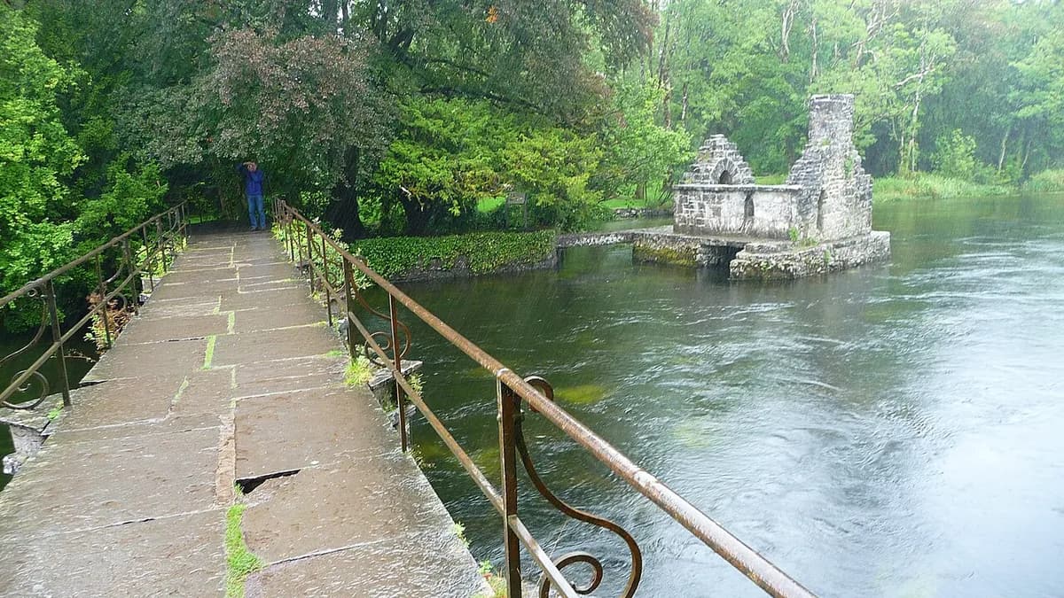
The Monks' Fishing House
A roofless stone fishing hut built out over the Cong River, part of the abbey's national monument.
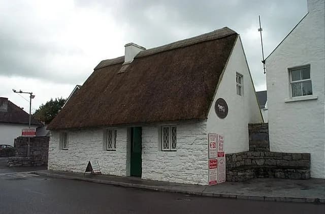
The Quiet Man Museum
A replica of the film's White O'Morn cottage, with original artefacts and a wall of 1951 newspaper cuttings.