The Porchfields and Trim Castle River Walk
About 4 km return · Flat elevation
About
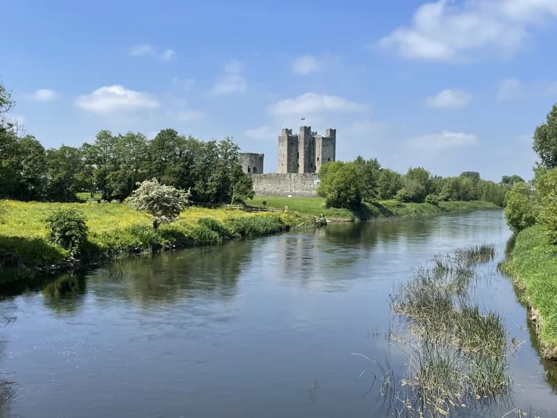
The river walk from the castle out to Newtown is the thing Trim people actually do, most days, in most weather. It leaves the castle grounds, crosses the Boyne, picks up the Yellow Steeple and the Sheep Gate, and then runs out along the north bank through the Porchfields, a medieval open field system that survived because it flooded and so was never built on. It ends among the Newtown ruins about a mile and a bit downriver. Meath County Council has put interpretive panels with QR codes along it, along with benches, a wildflower meadow and an outdoor gym, so it is a genuine town amenity rather than a heritage trail nobody uses. Allow roughly half an hour each way at a walking pace, more if you stop at the panels.
Photos
Highlights
- ✓The Porchfields, a surviving medieval open field system
- ✓Interpretive panels with QR-linked local stories
- ✓The Yellow Steeple and Sheep Gate on the way out
- ✓The Newtown ruins and the medieval bridge at the far end
Tips
- →The Porchfields are water meadow and flood. After heavy rain sections go soft, so boots rather than trainers in winter.
- →Marcie Regan's at the Newtown end is the traditional finish, but it keeps its own hours, so do not build the day around it.
- →There is no lighting along the river section, which matters in winter when it goes dark by half four.
Best Season
More Attraction Activities
Trim Castle
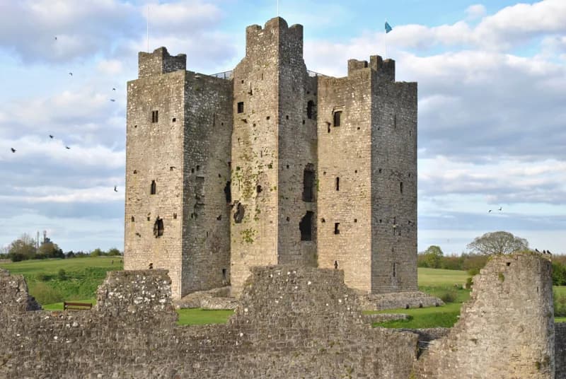
The largest Anglo-Norman castle in Ireland, with free open grounds in the middle of town and a cruciform keep you can only see on an OPW guided tour.
The Yellow Steeple and St Mary's Abbey
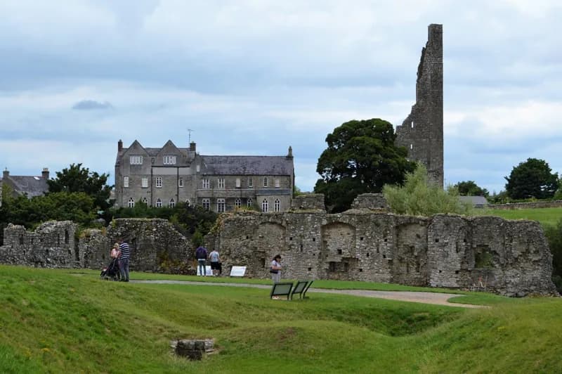
The jagged bell tower of St Mary's Augustinian Abbey, the tallest structure in Trim, standing on the ridge across the river from the castle. Viewed from outside only.
Newtown Trim and the Priory of St John the Baptist
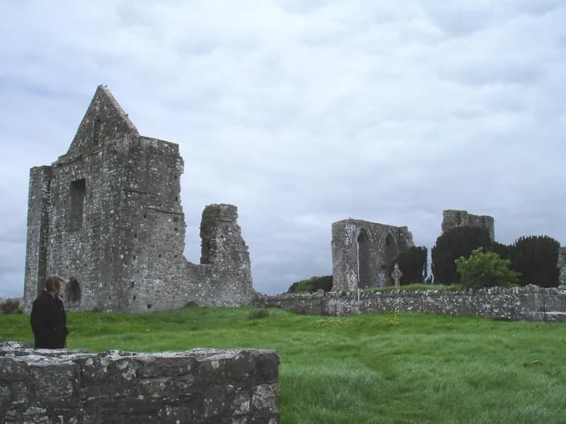
The thirteenth-century Cathedral of Saints Peter and Paul, the Priory of St John the Baptist and one of Ireland's oldest bridges, a mile downriver from the castle.