About Tramore
The history, geography, and character of Tramore.
History & Heritage
The Strand, the Spit and the Backstrand
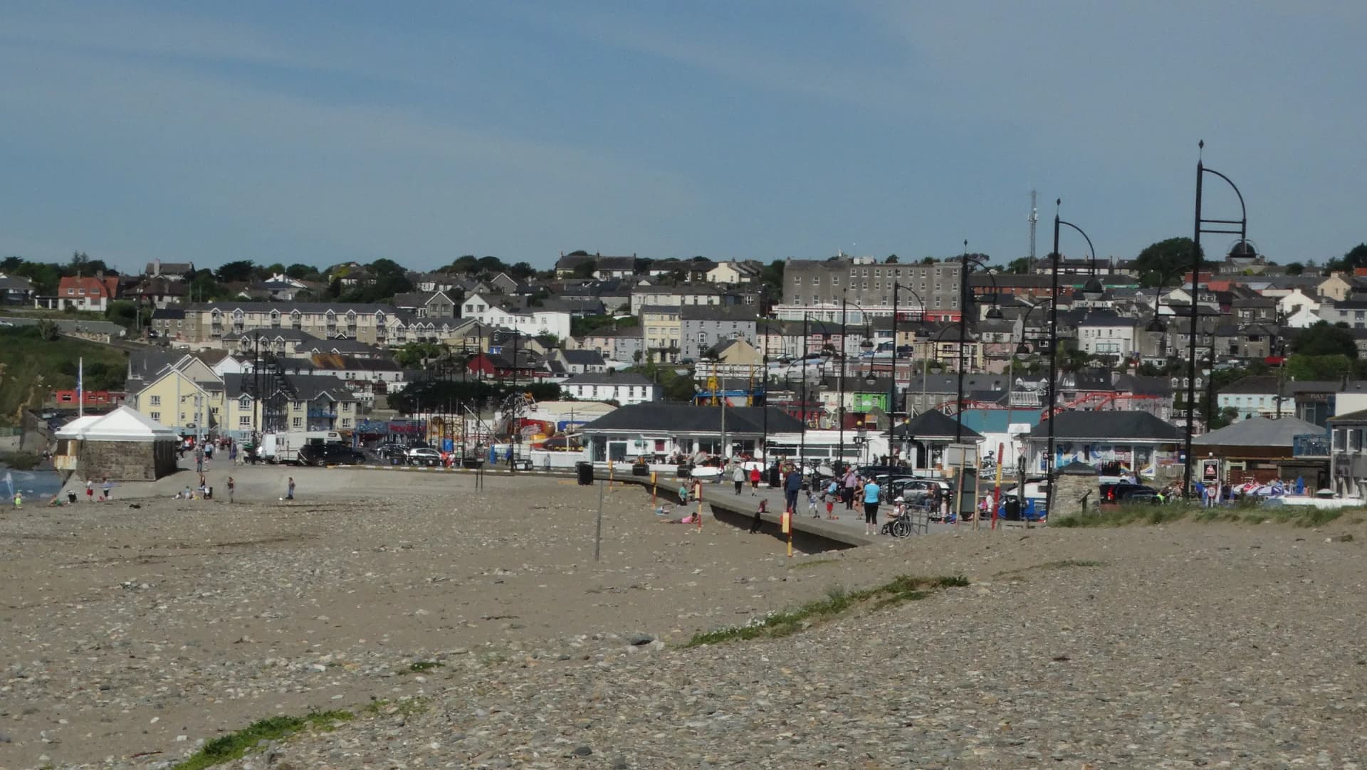
<p>Tramore Bay is closed off at its head by a long sand and shingle spit. On the seaward side of that spit is the strand; on the landward side is the Backstrand, a wide tidal lagoon that the National Parks and Wildlife Service records as 3.7km across, fed by rivers at its north-west and north-east corners and connected to the bay by narrows along the eastern side. On top of the spit is a dune system locals call the Burrow.</p><p>Dunes, saltmarsh and backstrand together form the Tramore Dunes and Backstrand Special Area of Conservation. The fenced-off sections of marram grass are not decoration: the dunes are eroding, with blow-outs and bare sand already present, and the fences are an attempt to hold them. Waterford City and County Council's own heritage leaflet puts a walk around the dunes at 4km and about an hour, and tells you to check the tide before you commit to the loop, because the Backstrand fills behind you.</p>
A Railway, a Resort, and No Railway
<p>The Waterford and Tramore Railway opened on 5 September 1853 and ran for seven and a quarter miles with no intermediate stations, just a terminus at each end. It was never connected to the rest of the Irish network. For a hundred and seven years it carried Waterford down to the sea for the day, and the town grew to meet it: terraces, boarding houses, an amusement park on the front.</p><p>The last trains ran on 31 December 1960, the 13:25 down from Waterford and the 14:10 back up, and the line was lifted. The habit outlived the railway. Waterford still comes to Tramore for the day, now on the 360 bus every twenty minutes, and the town still earns most of its living between June and September.</p>
Five Pillars and a Metal Man
<p>The mouth of Tramore Bay is marked by five white beacon towers: three on Great Newtown Head to the west and two on Brownstown Head to the east. They exist because the bay is a trap. An inland current draws vessels in, and from seaward Tramore Bay could be mistaken for the entrance to Waterford Harbour. The Sea Horse, carrying troops of the 59th Regiment of Foot home from the Napoleonic Wars along with their wives and children, was driven in and wrecked on 30 January 1816; the commonly cited death toll is 363, local historians put it at around 350, and about thirty men were pulled alive out of the surf.</p><p>Merchants in Waterford petitioned in 1818, the Ballast Board surveyed the headlands, and the towers went up between 1820 and 1824 under the engineer George Halpin. On the middle tower at Great Newtown Head stands a twelve-foot cast-iron sailor by the Cork sculptor Thomas Kirk, landed at Waterford in September 1823. Two things are commonly said about him and both are wrong. Lloyd's of London did not pay for the towers, a claim the local historians at Tramore of Yore have shown has no documentary basis. And he does not point towards Waterford Harbour: a newspaper printed that in 1823 and corrected itself the following week, but the correction never caught up.</p>
Getting Into the Water
<p>Three different swimming cultures share the same few kilometres of coast here. On the strand, lifeguards work the flagged area through the summer and the surf schools run beginners in groups of eight off the Pavilion end, with the best swell of the year arriving in autumn when the water is also at its warmest. Under the cliffs to the west, the Newtown and Guillamene Swimming Club has run two rock coves for more than seventy-five years, with steps and handrails straight into deep water and no lifeguard at any time; the Guillamene was men only until the early 1980s and the painted sign is still on the rock. And up at Railway Square, Splashworld does the indoor version 360 days a year, which is what makes Tramore workable as a family destination in February.</p><p>Both coves and the strand carry current An Taisce awards. Tramore Beach retained its Blue Flag for the 2026 season and added a Green Coast award; Guillamene Cove and Newtown Cove hold Green Coast awards for 2026.</p>
Wildlife & Nature
Marine Life
Grey seal
Seen off the rocks at the coves and along the cliffs under Newtown Head, and occasionally hauled out at the quiet end of the strand.
Year round, most often on calm days
Porpoises, dolphins and whales
A number of cetacean species are recorded along the Waterford coastline and are occasionally picked up from the cliff path out towards Newtown Head. Waterford City and County Council's own heritage leaflet flags the possibility rather than promising it.
Calm, clear days from the clifftop
Otter
The Backstrand shoreline holds otters. The council's heritage leaflet names Saleen, the car park overlooking the Back Strand and the north end of the Burrow, as the place to try, early in the morning before anyone is about.
Early morning, year round
Birdlife
Light-bellied brent goose
The Backstrand carries internationally important numbers of brent geese. They arrive from the Canadian Arctic in autumn and feed on the intertidal flats behind the dunes through the winter.
October to April
Little egret
A white heron of the saltmarsh edges and creeks around the Backstrand, and now a fixture rather than a rarity.
Year round
Flora
Lax-flowered sea lavender
In late July the Backstrand saltmarsh turns blue with it. Strawberry clover, long-bracted sedge and sea purslane grow with it behind the sea wall, and every glasswort recorded for the county has been found on this saltmarsh.
Late July
Wild asparagus and spring vetch
Wild asparagus grows on the seaward side of the Burrow and dune fescue is widespread only at that end. Spring vetch is confined to the flat, short-turf areas at the far end of the dunes. Burnet rose, dewberry, downy oat-grass, marram and sand couch are all common across the dunes.
Late spring and summer
Sea rocket and prickly saltwort
Abundant most years above the high tide mark on the strand, which is the reason not to rake or drive the top of the beach.
Summer