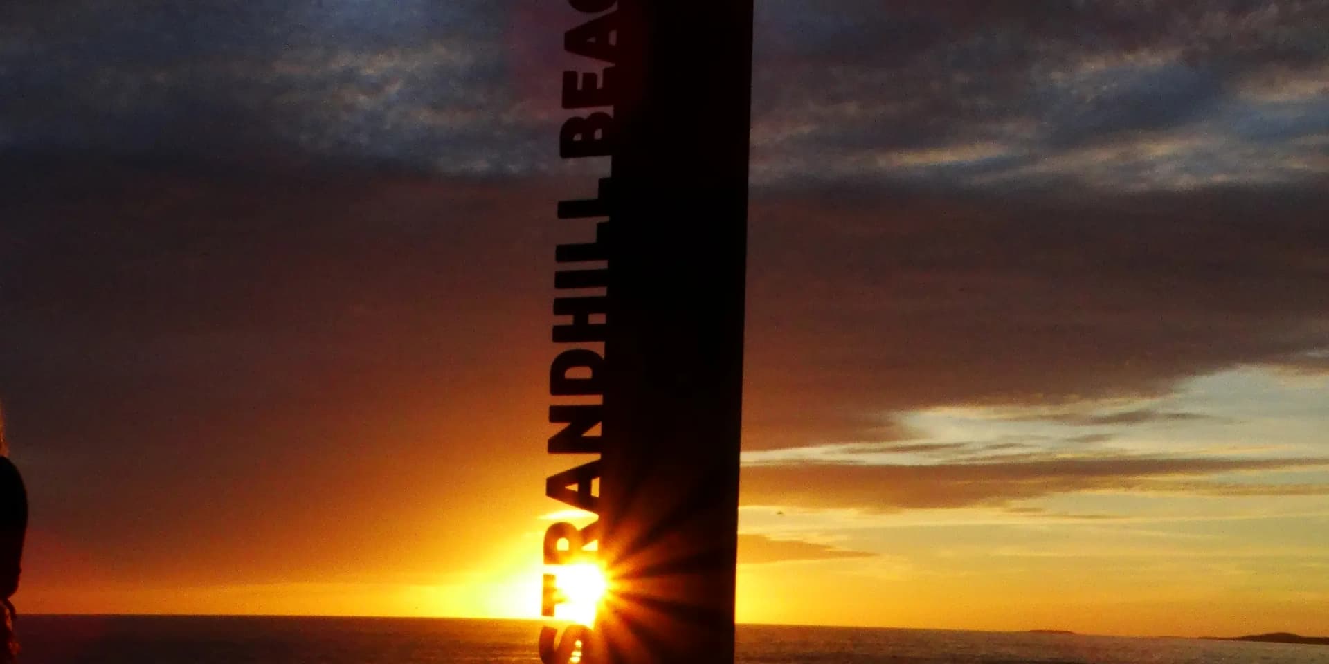
About Strandhill
The history, geography, and character of Strandhill.
History & Heritage
How a village got built on a beach
Before 1895 the land at Strandhill was undeveloped commonage. A Sligo merchant named Benjamin Murrow, who had made money in Argentina, bought the site that year for £1,760, built a road down to the shore, and began selling plots along a street he named Buenos Ayres Drive after his own history. In 1912 he built a bathhouse to give day-trippers from Sligo a reason to come out, drawing on the older Irish tradition of therapeutic seaweed bathing. That road became public property in 1928 and beach access followed in 1936. The bathhouse Murrow built is, in spirit if not in the same building, the direct ancestor of the Voya Seaweed Baths trading on the same road today.
An Atlantic beach that was never for swimming
Strandhill beach faces straight into the open Atlantic and carries permanent rip currents; it is not considered safe for swimming and there is no lifeguard service. What that same exposure produces is a genuinely good, consistent surf break, and it is the reason Strandhill is usually described as Ireland's premier surf village rather than a beach resort. The National Surf Centre, a purpose-built facility on the seafront, opened to support the surf schools that now run lessons here most days of the year, weather and swell permitting. It is a working break, not a photogenic backdrop: expect wetsuits drying on fences and boards leaned against every second wall.
Knocknarea and Queen Maeve
Knocknarea rises 327 metres directly behind the village, and its flat summit carries Miosgan Meadhbha, Queen Maeve's Cairn: an unexcavated Neolithic passage tomb roughly 55 metres wide and 10 metres high, the largest cairn in Ireland outside Brú na Bóinne. Local tradition holds it as the burial place of Meadhbh, the legendary queen of Connacht, though the monument was never opened to confirm what, if anything, is inside. Archaeologists have raised concern in recent years about hikers climbing on the cairn and moving stones, which risks destabilising it; the accepted etiquette is to walk around it, not on it. The summit views take in the Ox Mountains, Sligo Bay, Lough Gill, Benbulben, and on a clear day Croagh Patrick across in County Mayo.
Coney Island and the tide
South of the village, past Culleenamore beach, a tidal strand connects the mainland to Coney Island at low water, historically crossed on foot or by horse and cart and still used that way by people who know the tides. Culleenamore itself has its own history: Viking raiders are recorded sailing up Ballisodare Bay over a thousand years ago, and Culleenamore's oysters won awards in the nineteenth century, with kitchen middens of discarded shells still visible on the beach at the Sandy Field. None of this is a casual walk to attempt without checking tide times first; the sands here catch people out.
A village that still works
Strandhill today runs on surfing, golf, the seaweed baths, and a strong run of pubs and cafes for its size, plus a Sunday market held, unusually, in a hangar at Sligo Airport, which is itself in Strandhill townland (it lost its last scheduled passenger flight in 2011 and now hosts the Irish Coast Guard's Rescue 118 helicopter and a flying club). It draws surfers, golfers, and Sligo day-trippers rather than coach tours, and it has kept the low-key, slightly scruffy character of a real surf town rather than smoothing itself into a resort.
Wildlife & Nature
Marine Life
Harbour seals
Harbour seals haul out on the sandbanks at Culleenamore and the Coney Island tidal flats; they are commonly heard calling before they are seen.
Year-round, best on a falling tide