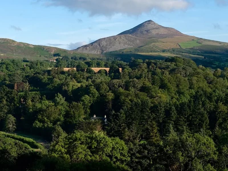
The Great Sugar Loaf
3.5 km round trip on the standard route · About 210m of ascent from the car park; summit 501m elevation
About
The cone on every Enniskerry horizon, and the thing framed at the end of the Powerscourt terraces, is the Great Sugar Loaf: 501 metres, and despite the shape it is not a volcano. It is Cambrian quartzite of the Bray Head Formation, an erosion-resistant lump that outlasted everything around it. The standard ascent does not start in Enniskerry: it starts from the car park on Red Lane, the L1031, on the southern side, about 6km from the village by road, and it is a 3.5km round trip with only about 210 metres of climbing, an hour to an hour and a half, finishing with a short scramble up a rocky gully to the summit. From the top you get the whole thing at once: Bray Head and the sea, Little Sugar Loaf below you, the Wicklow Mountains behind and the Powerscourt demesne laid out to the northwest. The longer, marked Sugar Loaf Way starts at Kilmacanogue and runs 4.5km through lanes and old coach road to the same hill.
Highlights
- ✓A 501m summit for about 210m of climbing, the best return on effort in north Wicklow
- ✓A short rocky scramble in the final gully that makes it feel like a proper mountain
- ✓Views over Bray Head, the Irish Sea, Little Sugar Loaf and the Powerscourt demesne
- ✓The hill that frames the view down the Italian terraces at Powerscourt
Tips
- →The walk does not start in Enniskerry. Drive about 6km to the Red Lane (L1031) car park on the southern side.
- →The final gully is loose rock and a hands-on scramble. It is not hard, but it is not a stroll either.
- →There is no shelter anywhere on it and it is genuinely exposed to wind. Check the forecast.
- →It is busy on fine weekends. Early morning or a weekday evening in summer is a different hill.
Best Season
More Cliff walk Activities
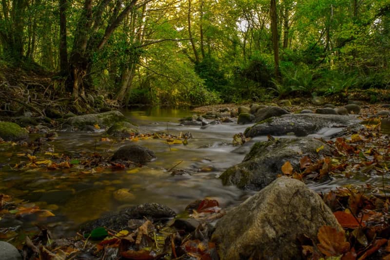
Knocksink Wood Nature Reserve
The steep river wood in the ravine below the village, a statutory nature reserve since 1994, sessile oak, petrifying springs and an hour's loop on the Glencullen River.
Activity
Crone Woods and Maulin Mountain Loop
Crone Woods and Maulin Mountain Loop
A 6.6km loop from Crone Wood onto Maulin, joining the Wicklow Way past Ride Rock, which looks straight across at Powerscourt Waterfall from above.