About Stirling
The history, geography, and character of Stirling.
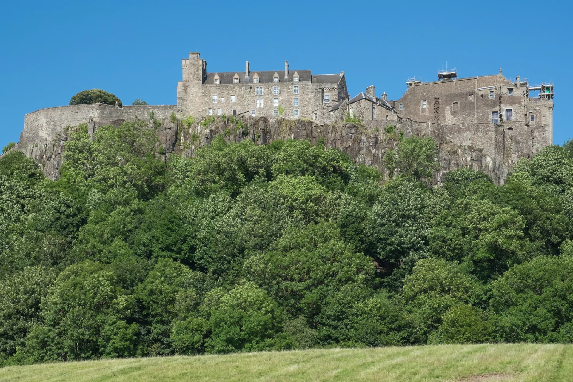
Stirling is a small city on the River Forth, built up the side of a crag with its castle on top. It was made a city in 2002 for the Golden Jubilee and had about 37,910 people in 2020, by Wikipedia's count. The Gaelic name is Sruighlea. The old saying quoted on Wikipedia, that Stirling 'like a huge brooch clasps Highlands and Lowlands together', is why it gets called the gateway to the Highlands. The Old Town on the hill is the Top of Town to locals, a name the Stirling Observer uses in its headlines.
History & Heritage
The castle and the Top of Town
The castle sits on an intrusive crag of quartz-dolerite, part of the Stirling Sill. James IV built the Great Hall, which was being plastered by 1503 and restored in 1999, and James V began the Royal Palace in the 1530s. The army used the castle as a barracks from 1800 until 1965, and the Argyll and Sutherland Highlanders still have their headquarters there. Below the gate, Castle Wynd, Broad Street and St John Street hold Argyll's Lodging, the Church of the Holy Rude, Cowane's Hospital of 1637 and the old county jail. The Back Walk, laid out between 1724 and 1791, follows the old town wall up the side of the crag.
A bridge and two battles
Wikipedia records that major battles of the Wars of Scottish Independence were fought at the Old Bridge in 1297 and at Bannockburn in 1314. The present Old Bridge dates from around 1500 and replaced earlier wooden bridges, including the one where the Battle of Stirling Bridge was fought in 1297. The Wallace Monument, finished in 1869 on the Abbey Craig, marks the hill from which Wallace is said to have watched Edward I's army gather before that battle. The Battle of Bannockburn was fought on 23 and 24 June 1314 at the southern edge of today's city. The National Trust for Scotland's visitor centre there closed on 1 October 2026 for a refurbishment and is expected to reopen in mid-2028; the rotunda, the Bruce statue and the grounds stay open.
Local names
Stirling City Heritage Trust records a few names worth knowing. Gowan Hill, behind the castle, was once called the Heidden Hill, and the Beheading Stone is still up there. The village of Cambuskenneth across the river is known as The Abbey, after the ruins in it. The town's old emblem is a wolf, from a legend that a wolf's cry warned a sentry of a Viking attack, and a carved wolf marks the start of the Back Walk.
The Smith and the world's oldest football
The Stirling Smith Art Gallery and Museum on Dumbarton Road was founded in 1874 with the bequest of Thomas Stuart Smith and is free to enter. Guinness World Records lists the leather football in its collection as the world's oldest. It was found behind panelling at Stirling Castle in the 1970s and dated to between 1540 and 1570.
Getting around
The station and the bus station sit together on Goosecroft Road at the bottom of the town. The castle is about half a mile uphill from there, by Historic Environment Scotland's figure, and its car park is closed to most cars, so walk or use the council's park and ride from Castleview or Springkerse. First's 52 and UL buses run from Goosecroft Road to the Wallace Monument, about 2.5 km north-east of the centre.