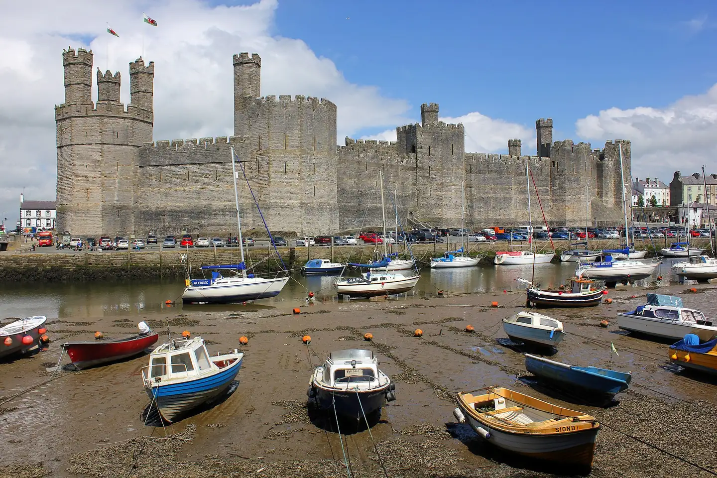
Getting to Caernarfon
How to reach Caernarfon by train, bus, or car.
Nearest railway station
Caernarfon has no station on the national rail network. The nearest is Bangor (Gwynedd), code BNG, on the north Wales coast line, about 13km away in a straight line and 16km (10 miles) by road, per Cadw. From Bangor, the TrawsCymru T2 calls at the stop called Bangor Railway Station H, about 130 metres from the station building, and runs to Caernarfon Bus Station in about half an hour; the bus station on Penllyn is about 230 metres from Y Maes. The Welsh Highland Railway that leaves from Caernarfon is a separate heritage line with its own tickets.
- Nearest station
- Bangor (Gwynedd), BNG, Station Road, Bangor, LL57 1LZ, per National Rail. Not Bangor in County Down or Bangor in Maine.
- Station to bus
- T2 from the stop Bangor Railway Station H, about 130 metres from the station building, measured from the National Rail and bus-stop coordinates.
- Bus time
- About 28 minutes from Bangor Railway Station H to Caernarfon Bus Station on the weekday T2 timetable read on 16 October 2026, with buses about every two hours.
- In Caernarfon
- No national rail station. The Welsh Highland Railway station on St Helen's Road is heritage only.
Tips
- •Check the T2 on Traveline Cymru before you travel: the last buses of the day are the ones that change.
- •Cadw also lists local routes 5, 5A and 5B between Bangor and Caernarfon, stopping on Penllyn about 200 metres from the castle.
Bus
Buses use Caernarfon Bus Station on Penllyn, a couple of minutes from Y Maes. TrawsCymru's T2 runs Bangor to Aberystwyth by way of Caernarfon, Criccieth, Porthmadog, Dolgellau and Machynlleth, per Transport for Wales, so it is both the link from the railway at Bangor and the long way south down the coast. Cadw lists the 5, 5A and 5B as local routes between Bangor and Caernarfon.
- Traws Cymru T2
- Bangor to Aberystwyth via Caernarfon, Criccieth, Porthmadog, Dolgellau and Machynlleth, per Transport for Wales.
- Bus Station
- Caernarfon Bus Station, Penllyn, about 230 metres from Y Maes.
- Caveat
- Times change with the timetable; check Traveline Cymru on the day.
Tips
- •Check the T2 timetable before relying on a late bus back to Bangor.
Useful Links
Driving and Parking
Cadw gives the roads in as the A4085, the A487 trunk road and the B4366. The castle and the old town are compact and best done on foot once the car is parked. The nearest car park to the castle is on Slate Quay, directly below it: the Welsh Highland Railway describes it as a private pay and display car park with 295 spaces, open 24 hours, taking card, cash or phone payment. Balaclava Road car park by Doc Victoria is pay and display, £7.70 for 24 hours per Premier Inn. The Gunroom at Plas Dinas, 3.4km south at Bontnewydd, is the one place in this guide that needs a car or a taxi.
- Slate Quay
- Private pay and display below the castle, 295 spaces, 24 hours, per the Welsh Highland Railway.
- Balaclava Road
- Pay and display at Doc Victoria, £7.70 for 24 hours, per Premier Inn.
- Segontium
- A few roadside spaces on the main road beside the fort, per Cadw.
- Caveat
- Council car park tariffs and Blue Badge rules were not confirmed for this guide; check Cyngor Gwynedd.
Tips
- •The old town inside the walls has narrow streets; park outside and walk in.
- •Cadw says the walk from the waterfront car park to the castle has a short steep climb along the pavement.
Useful Links
From the Airport
Live options for reaching the village from the nearest airports. Times and fares are a guide and can change with traffic or operator schedules.
Manchester AirportMAN
- Duration
- Check a journey planner; not confirmed for this guide
- Cost
- Varies with how far ahead you book
Some journeys need a change on the way to Bangor; check National Rail Enquiries for whether yours is direct, then the T2 from the stop Bangor Railway Station H to Caernarfon, about 28 minutes.
Operator: Transport for Wales, then TrawsCymru
- Duration
- Check a route planner; not confirmed for this guide
- Cost
- Fuel plus parking
Route not confirmed against a live planner.
Liverpool John Lennon AirportLPL
- Duration
- Check a journey planner; not confirmed for this guide
- Cost
- Variable
No train serves the airport itself, so a road leg is needed at the Liverpool end.
Planning the wider trip?
Our country-level primer covers national rail, intercity buses, airports, the Leap Card, and whether you actually need a hire car for your trip around United Kingdom.
Getting Around United Kingdom →