About Tralee
The history, geography, and character of Tralee.
Tralee is the county town of Kerry, and it carries itself that way: it has the county council offices, the county museum, the region's main hospital, and a Saturday market that locals actually shop at, not just a tourist trail through it. Its Irish name, Trá Lí, means the strand of the River Lee, a small river that is still tidal as far as Bridge Street in the town centre. The town sits at the head of Tralee Bay, at the neck of the Dingle Peninsula, which makes it a genuine, workable base for both the Dingle Peninsula and the Ring of Kerry without the peak-season crowding of Killarney.
History & Heritage
History
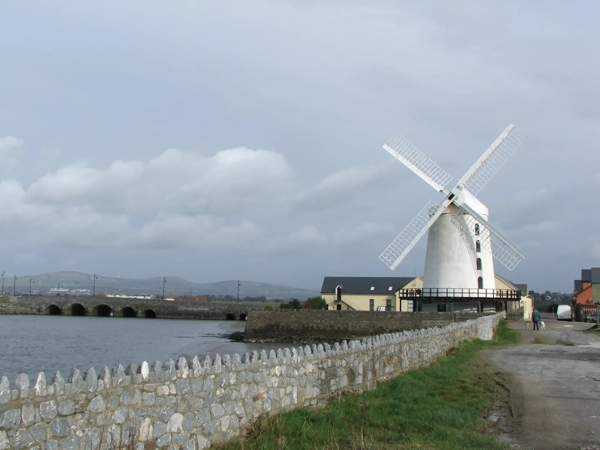
Anglo-Normans established Tralee in the 13th century as a stronghold of the Earls of Desmond. The medieval town was burnt in 1580 during the Desmond Rebellions, and Elizabeth I granted the town to Edward Denny in 1587, with a royal charter following in 1613. The town's present-day Georgian character dates largely from the 19th century, with Denny Street, laid out in 1826, still its architectural showpiece. In the mid-19th century, nearby Blennerville served as an emigration port, from which thousands left for America during and after the Famine.
A working county town
Tralee is Kerry's largest town and its administrative centre, with a 2022 census population of 26,079, making it Ireland's 15th largest urban settlement. That size and function set it apart from smaller, more seasonal Kerry villages: its restaurant scene stays open through the winter because locals, students at MTU Kerry, and hospital staff eat out year-round, not because of tourist numbers. The Rose of Tralee International Festival, running every August since 1959, is the town's best-known export, but it is one week of a much longer working year.
Geography and setting
Tralee sits at the head of Tralee Bay on the northern side of the Dingle Peninsula's neck, at the confluence of the River Lee and several smaller streams. The town is bordered to the south by the Slieve Mish Mountains, which give some shelter from Atlantic weather compared to more exposed parts of the county. The Tralee to Fenit Greenway follows the old railway line 13.6km out along the edge of the bay to the fishing village of Fenit, and the N86 heads west out of town toward Camp, the Conor Pass, and Dingle.
Wildlife & Nature
Birdlife
Tralee Bay Wetlands birdlife
Tralee Bay Wetlands is a reclaimed wetland and nature reserve that attracts a range of wading and wetland birds; check with the reserve for current sightings.
Year-round at Tralee Bay Wetlands