The Barrow Way, Carlow to Milford
About 7 km one way · Flat towpath elevation
About
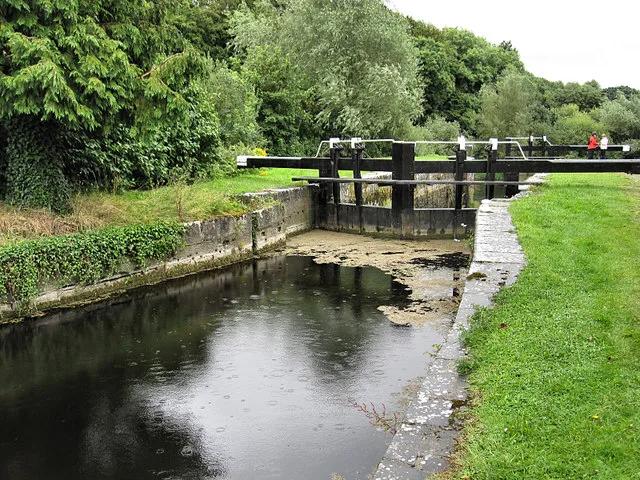
The Barrow Way is the old towpath along Ireland's second-longest river, 113 km from Robertstown in Co. Kildare to St Mullins in the south of Co. Carlow, and Carlow town sits on it. The stretch that suits a visitor on foot is the one south from Graiguecullen Bridge to Milford, about seven kilometres of flat towpath. Waterways Ireland describes the start: the path crosses to the west bank at the bridge, gives you the best view of Carlow Castle from across the water, passes Carlow Lock and then leaves the town for farmland, Clogrennan Weir, the ruins of Clogrennan Castle and Cloydagh church. Milford is the reward, three bridges, the mill buildings and the weir, and Milford Mills is where Carlow's first public electricity was generated in the 1890s. Barrow Brew, the coffee dock in the woods there, makes it a walk with a destination. Plan it as a there-and-back walk, or arrange a lift back from Milford.
Highlights
- ✓Carlow Castle seen from across the river
- ✓Carlow Lock and Clogrennan Weir
- ✓Milford's bridges, weir and mill
- ✓Coffee at Barrow Brew at the Milford end
Tips
- →Plan it as a there-and-back walk, or arrange a lift from Milford
- →Stay on the towpath side; the Barrow is a working navigation with locks and weirs
- →Waterways Ireland publishes the whole Barrow Way stage by stage