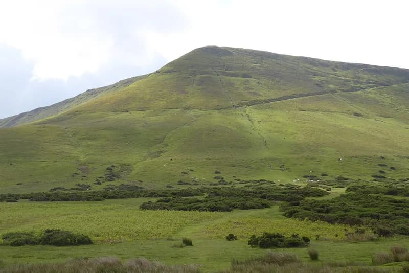
Offa's Dyke Path to Hay Bluff
About 6.2km each way · To 677m at the Hay Bluff trig point elevation
About
The National Trail runs straight through Hay, and south of the town it climbs to Hay Bluff, the northern end of the Black Mountains, so you can walk from the castle to the top without a car. From Oxford Road the path heads south over fields, crosses the Dulas Brook into Cusop Dingle in Herefordshire, comes back into Powys through Tack Wood and climbs onto the open hill past the Pen-y-Beacon stone circle beside the Gospel Pass road. The last pull onto the escarpment is steep. Measured on the OpenStreetMap line of the trail, it is about 6.2km from the castle to the ridge, and the summit trig point on Hay Bluff stands at 677 metres. Come back the same way, or arrange a lift from the Gospel Pass road.
Highlights
- ✓Leave from the castle on foot
- ✓Crosses into England and back in the first 3km
- ✓The Pen-y-Beacon stone circle
- ✓The view north over the Wye valley from the top
Tips
- →The hill gets weather the town does not: check a mountain forecast, not the town one.
- →Carry a map; the open hill is featureless in cloud.
- →Sheep graze the hill; keep dogs on a lead.
Best Season
Accessibility
Contact the operator about access before you visit.